

Höganäs monitors environmental impact with help from satellites
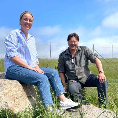
For this reason, Anders and environmental engineer Frida Lindbladh are leading a pilot project where they are using satellite images to see how the vegetation is growing, whether dust is spreading, and assess the water quality in the sea outside the plant.
How biodiversity develops over time
The fact that the world’s biodiversity is declining is receiving more and more attention, and at Höganäs’ industrial site we have a special area where we want to promote high biodiversity.
“Using satellite images, we can see how the vegetation is doing and how varied it is. If the vegetation is healthy and varied, it attracts a higher number of insects and other animals. By using historical satellite images, we can see how vegetation has developed over time," says Frida.
Effective methods for tracking suppliers
The pilot project started in April and will run until June, when it will be evaluated. If successful, a possible next step could be to use the same method at our other sites around the world.
“The demands for control in the supply chain are constantly increasing, and this could be an effective complement to on-site supplier visits," says Anders.
Facts
|
||
Text and photo: Ann Wulf